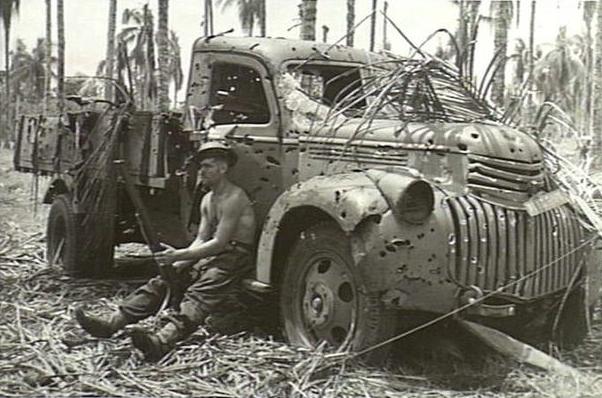
Introduction
At the end of WWII the Japanese Army had to quickly abandon three of their airfields in Papua Provence Indonesia, at that time called Netherlands New Guinea. These airfields have been constructed in 1943 and 1944 and were heavily bombed by the Allied air forces near the end of the war. These airfields lay abandoned since WWII and have not been used for civil aviation or any other purposes, being located far from habitation. They can be seen as time capsules and valuable sources of information on the Japanese ways of constructing bush airfields.The surrounding area is mostly flat with vegetation of very tall alang-alang and kunai grass, very well suited for emergency landings. There is reason to believe that a number of Allied and Japanese planes may still be hidden in these tall and impenetrable grasses.
Goals
As a BSc student you will use available Remote Sensing data for a site characterization of the airfields and the surrounding area. In doing so, you will be identifying structures, buildings, roads, taxiways, dispersals and maybe abandoned aircrafts. All Remote Sensing data you can find, could be useful, including Sentinel 1 and 2 radar and spectral data and SRTM and ASTER GDEM elevation data. Your remote sensing results can be matched and compared to a large archive of historical aerial pictures as taken in the period 1944 – 1945. Your results are expected to form a good starting point for an in situ exploration during an expedition to be organized later this year.
Candidate
The preferred student has experience in the classification of satellite Remote Sensing data. Additional experience in photogrammetry or computer vision is a pro.
Credits
10 ECTS
Contact
For more information, please contact dr. Roderik Lindenbergh, room: 2.25, rlindenbergh@tudelft.nl.